Construction Surveys
Alberta’s Trusted Partner for Industrial & Commercial Construction Survey Solutions
From Heavy Civil Grading to Mechanical As-Builts, We Provide the Precision Your Project Demands
Bringing Your Blueprints to Life with Total Certainty
Reliable Site Data for Every Phase of Construction
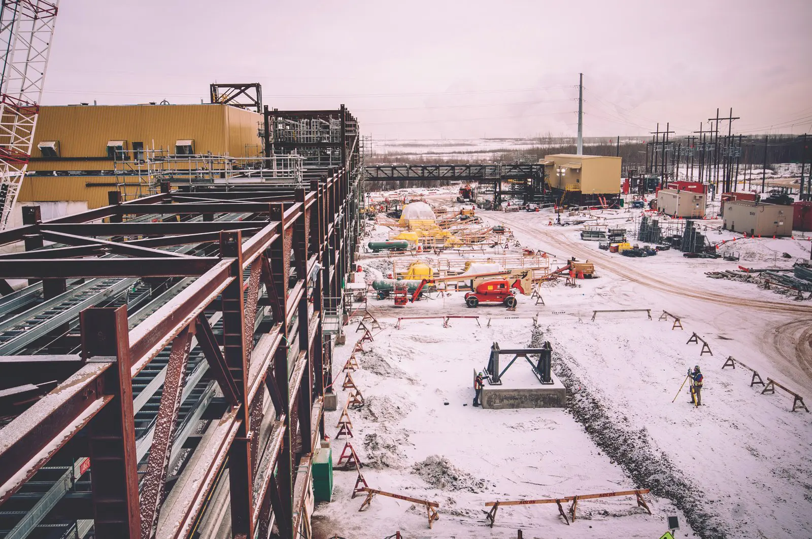
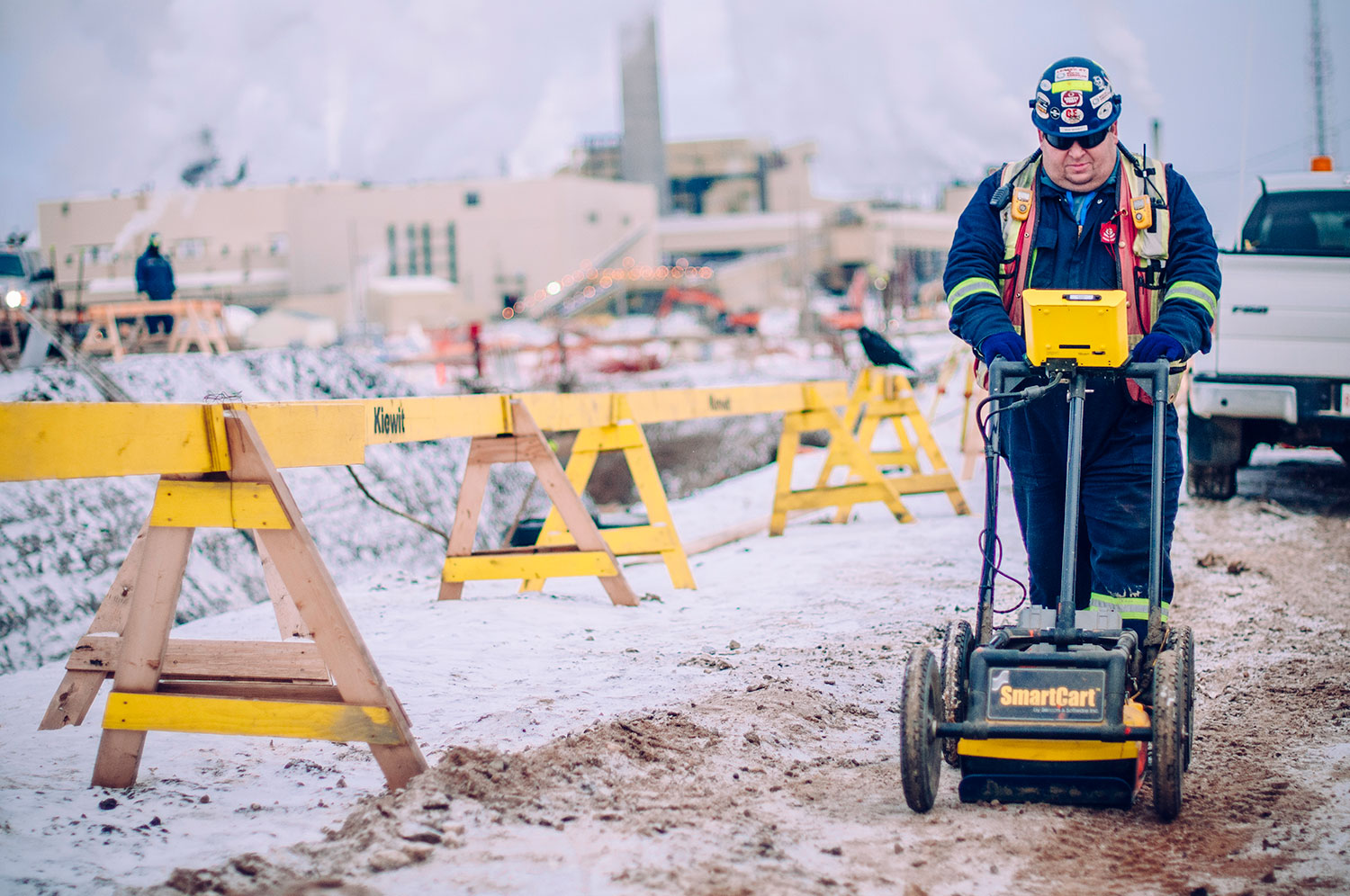
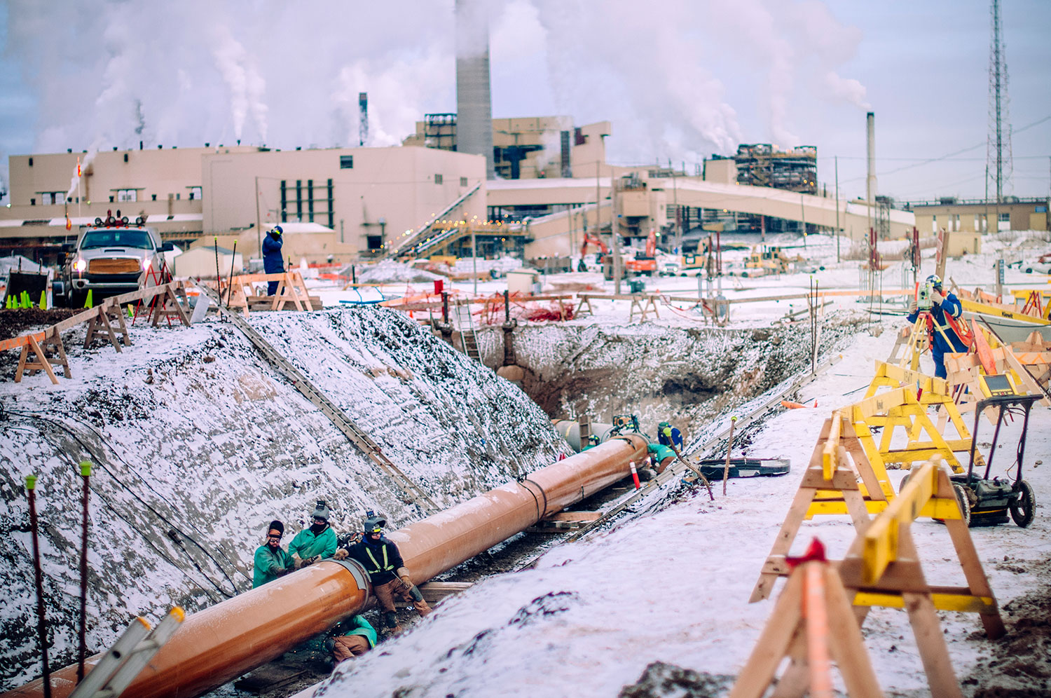
Centerline translates complex industrial 3D design files into clear, physical marks on the ground to keep your heavy equipment and civil crews moving. By supporting major industrial hubs like Calgary, Fort McMurray, Fort Saskatchewan, and beyond, we ensure your project has the geomatics support it needs to stay on schedule. By combining traditional ground surveying with advanced aerial LiDAR mapping, we provide a complete map of your project’s progress from start to finish.
Integration
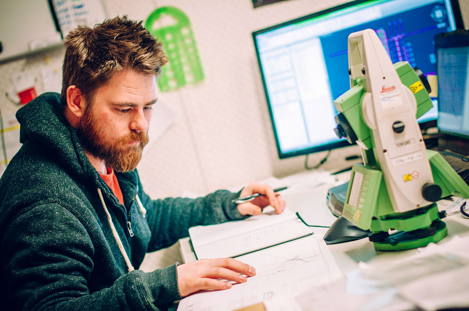
Our data plugs directly into your CAD, BIM models, and heavy equipment machine control systems for seamless site operations.
Accuracy
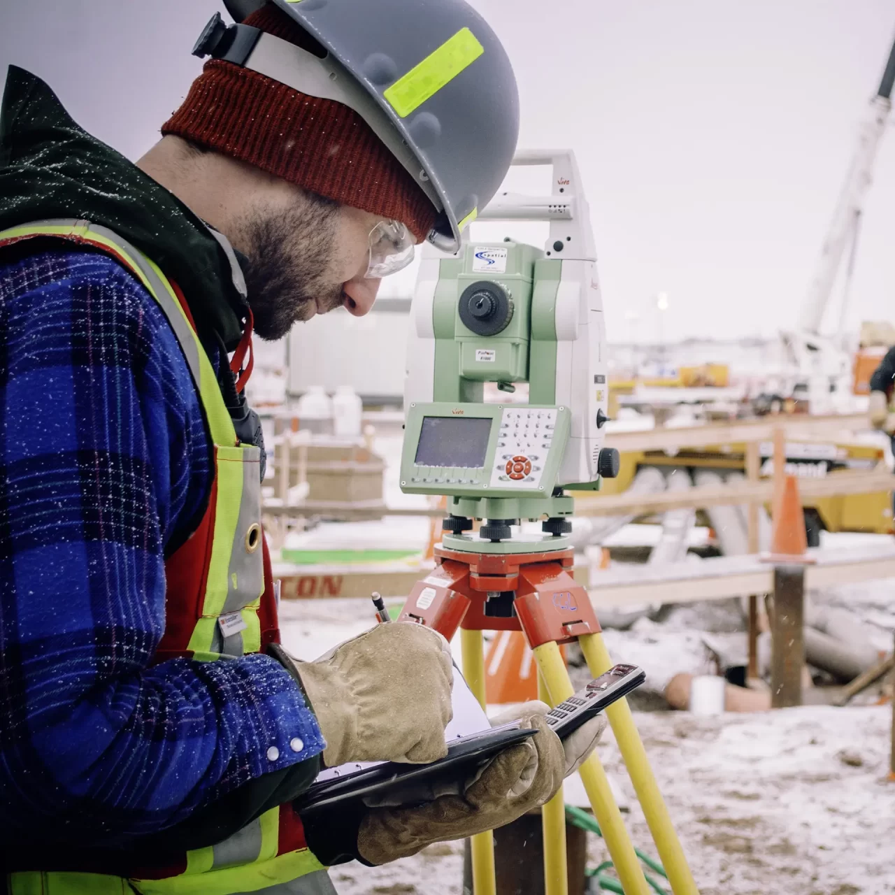
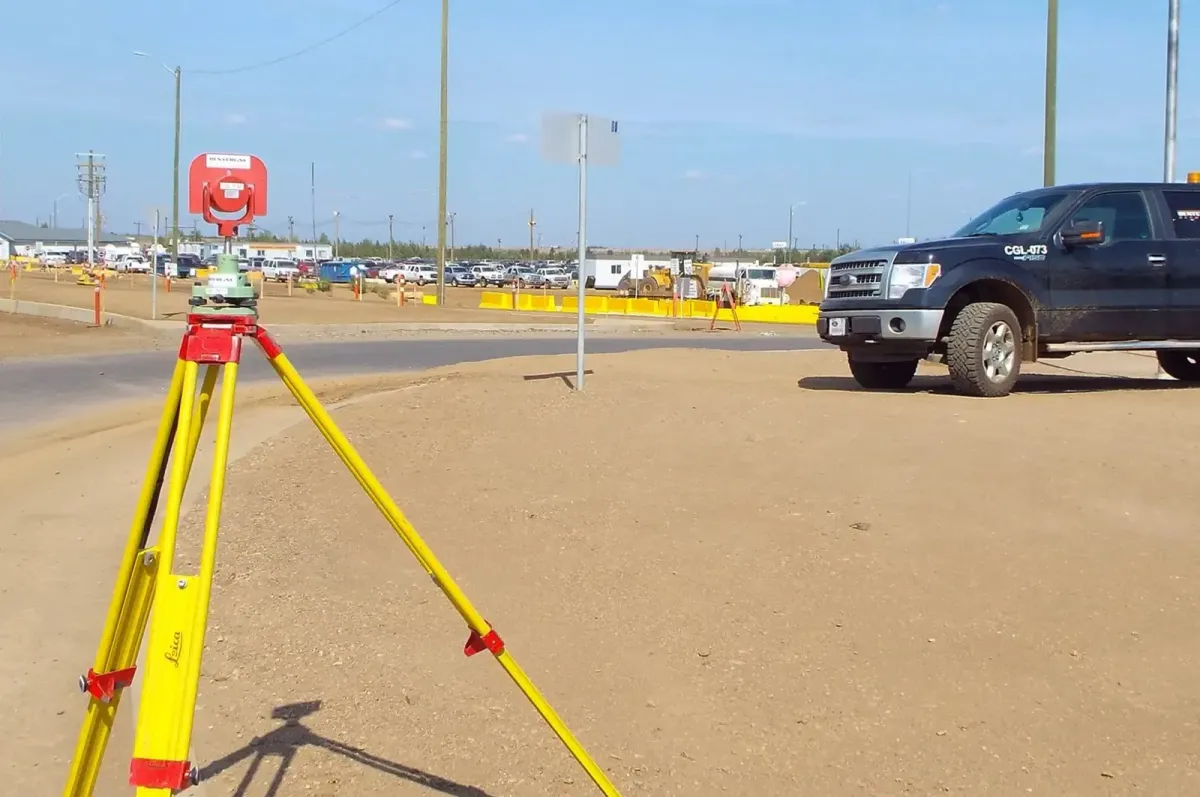
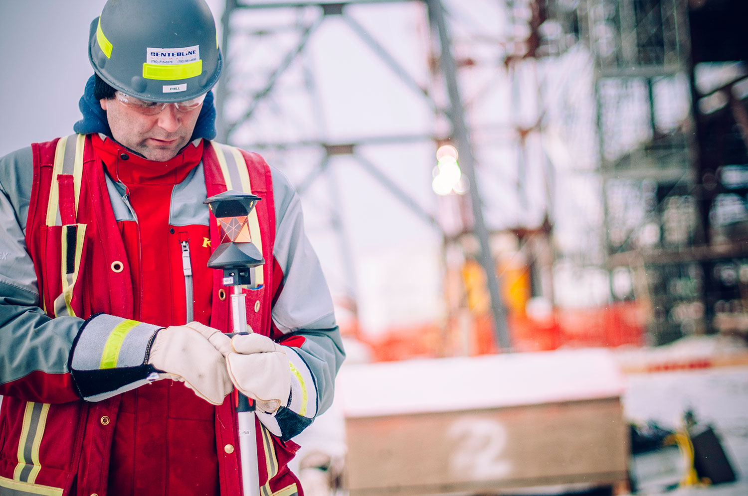
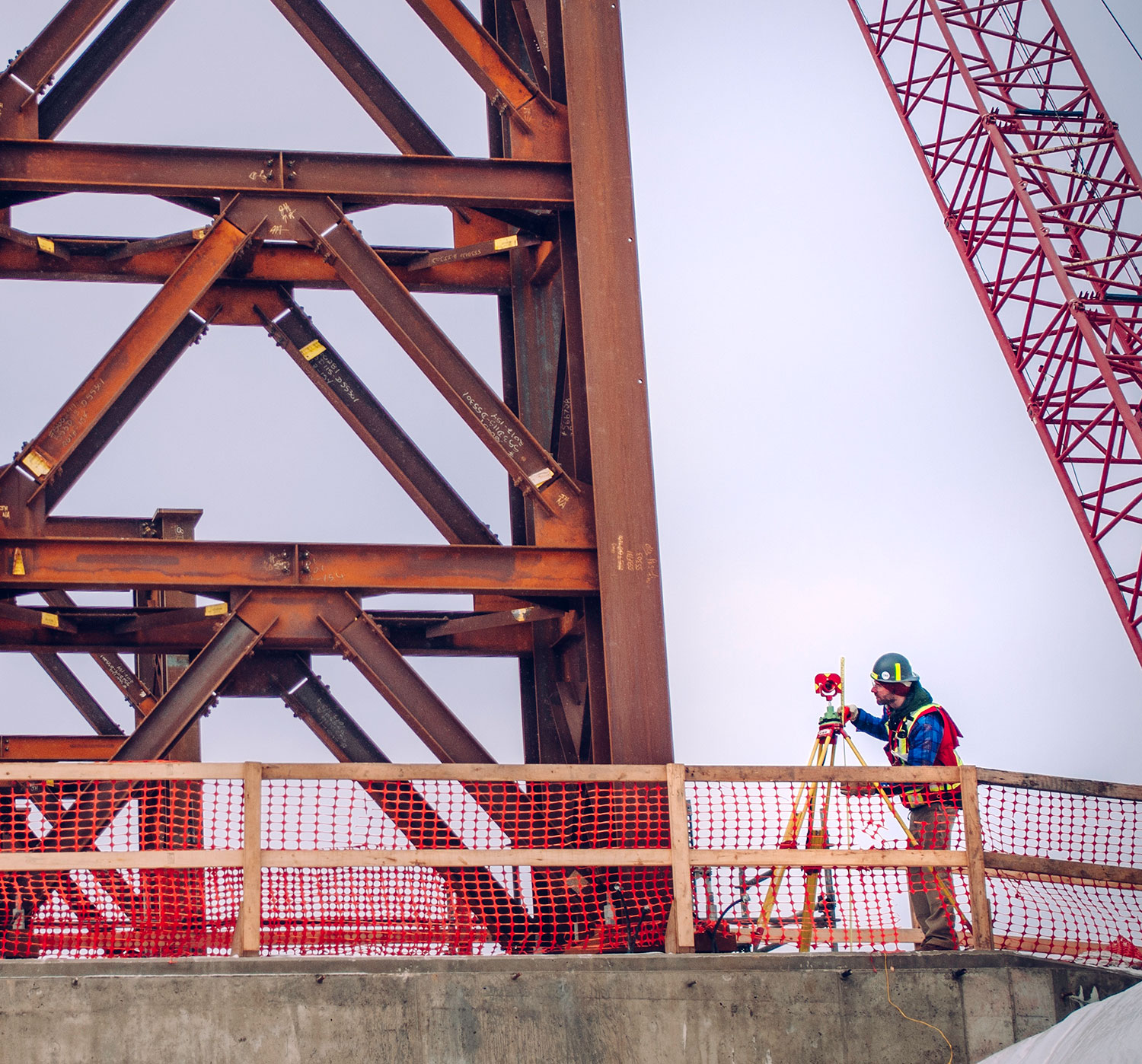
We utilize 1-second instruments and calibrated GNSS gear to meet the tightest structural and mechanical engineering tolerances.
Reliability
With field-verified data and local expertise, we help you avoid costly rework, structural clashes, and schedule delays.
Bridging the Gap Between Design and Construction
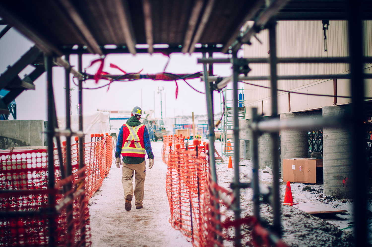
Our team is equipped to handle the fast-paced demands of modern heavy industrial, infrastructural, and commercial sites throughout Alberta. We prioritize uptime and clear communication to ensure your field and earthworks operations remain uninterrupted. Reach out to our team today to secure a professional survey crew for your upcoming start date.
Why Choose Centerline?
Comprehensive Geomatics for Alberta’s Infrastructure and Industry
We combine decades of Alberta field experience with the latest reality-capture technology to deliver unmatched site intelligence. By providing legal, construction, and aerial surveying through a single-source team, we ensure your multi-phase spatial data is always synchronized. We provide the certainty required to build with total confidence.
CCIL Certified Excellence: Our concrete, soil, asphalt testing, and surveying follow strict industry standards for total compliance.
Rapid Response Teams: We understand major construction timelines and mobilize quickly to meet your project milestones.
Advanced Field Tech: From LiDAR drones to high-precision robotic total stations, we use the best tool for the task.
Safety-First Culture: Our crews are fully licensed and trained to operate safely in high-risk, asset-heavy industrial environments.

Centerline Geomatics Has Been an Industry Leader in Safety

Request a Fast, Detailed Construction Survey Estimate
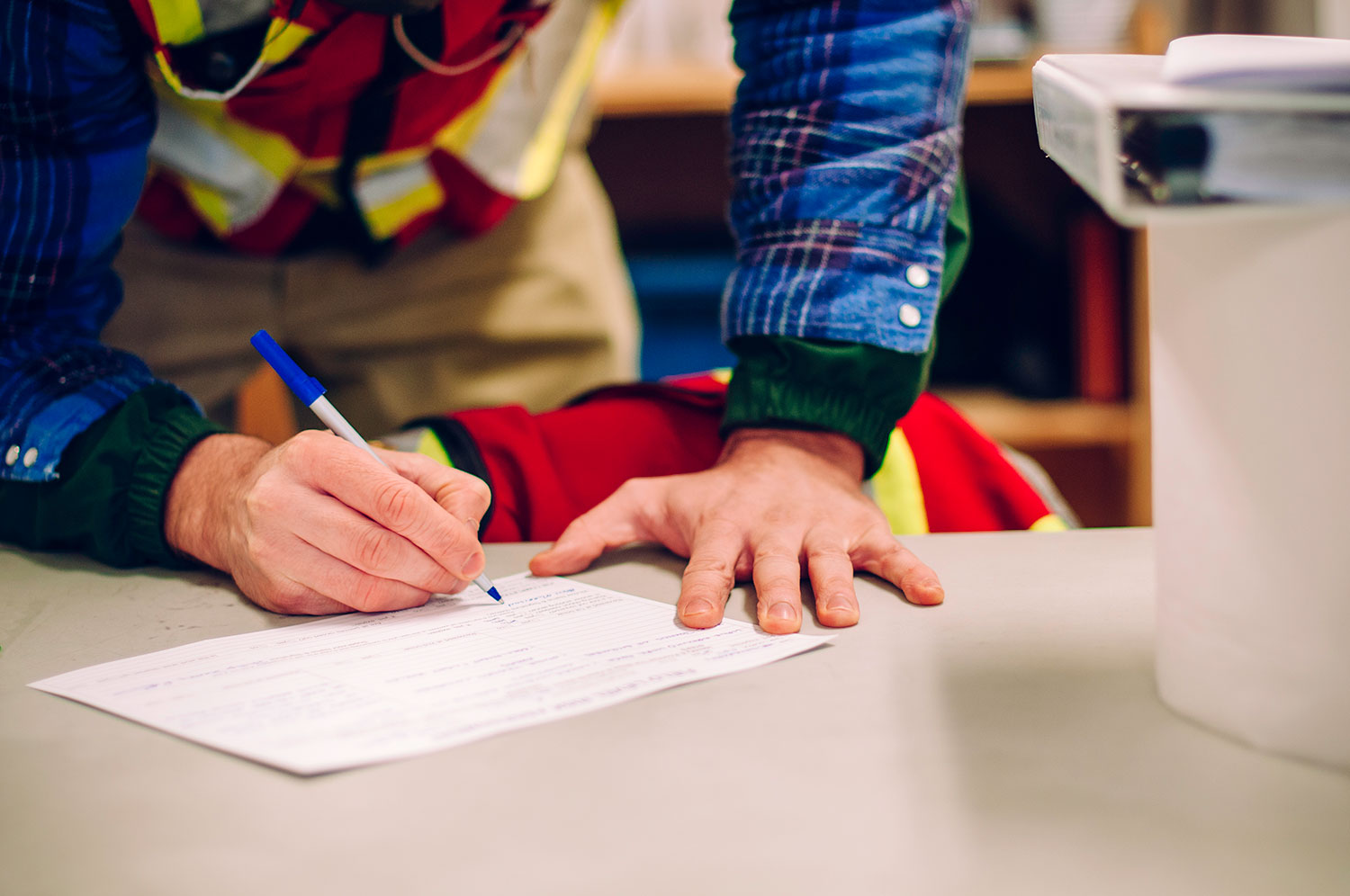
Request a Fast, Detailed Construction Survey Estimate Every project has unique requirements, and we are here to provide a tailored surveying plan that fits your industrial scope and capital budget. Whether you need a one-time topographic corridor map or ongoing site support, our coordinators are ready to assist. Reach out to our Alberta office today for a detailed estimate and let’s get your project moving.